搜索结果: 1-3 共查到“地球科学总论 Aerial”相关记录3条 . 查询时间(0.062 秒)
The contribution of historical aerial and satellite photos to archaeological and geo-archaeological research: case studies in Italy and Turkey
The contribution of historical aerial satellite photos to archaeological geo-archaeological research case studies
2010/9/13
The paper evidences the importance of old aerial and satellite photos of ancient topography studies, with examples concerning archaeological and geo-archaeological research conducted in Italy and Turk...

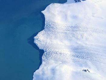
Peering Under the Ice of a Collapsing Polar Coast--Low-Level Aerial Surveys Aim to Understand Rapid Antarctic Melting(图)
the Ice of a Collapsing Polar Coast Low-Level Aerial Surveys Rapid Antarctic Melting
2009/12/10
Starting this month, a giant NASA DC-8 aircraft loaded with geophysical instruments and scientists will buzz at low level over the coasts of West Antarctica, where ice sheets are collapsing at a pace ...
Do we miss the hot spots?–The use of very high resolution aerial photographs to quantify carbon fluxes in peatlands
hot spots high resolution aerial photographs carbon fluxes peatlands
2010/1/18
Accurate determination of carbon balances in heterogeneous ecosystems often requires the extrapolation of point based measurements. The ground resolution (pixel size) of the extrapolation base, e.g. a...

