搜索结果: 1-15 共查到“工学 marine”相关记录73条 . 查询时间(0.375 秒)

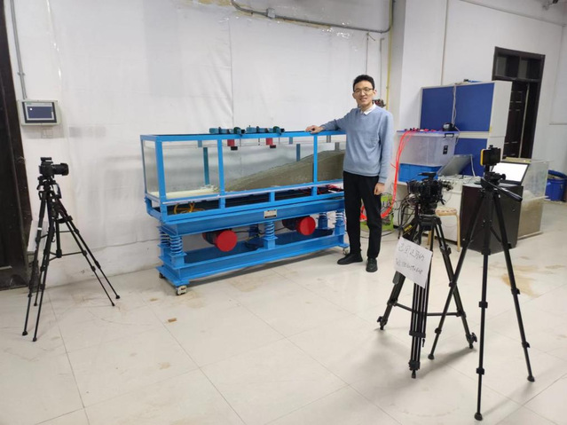
中国海洋大学环境科学与工程学院毕业生受邀担任Journal of Marine Environmental Engineering主编(图)
朱超祁 Journal of Marine Environmental Engineering 海洋工程地质 地质灾害
2024/3/4

密歇根大学Lei Zuo教授应邀作“Engineering Marine Energy and the Blue Economy”的学术报告(图)
密歇根大学 学术报告 机电一体化
2023/12/14
2022年11月11日9:00,哈尔滨工程大学机电工程学院邀请密歇根大学Lei Zuo教授为全校师生作了一场题为“Engineering Marine Energy and the Blue Economy”的学术报告。

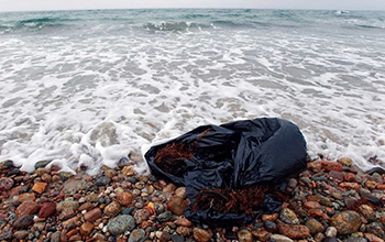
New study takes comprehensive look at marine pollution and human health(图)
marine pollution human health
2020/12/11
For centuries, the oceans have been viewed as an inexhaustible receptacle for the byproducts of human activity. Today, marine pollution is widespread and getting worse and, in most countries, poorly c...

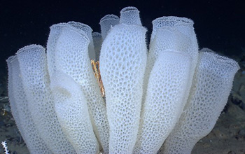
Marine sponges inspire the next generation of skyscrapers and bridges(图)
Marine sponges next generation skyscrapers bridges
2020/10/10
When we think about sponges, we tend to think of something soft and squishy. But researchers at Harvard University are using the glassy skeletons of marine sponges as inspiration for the nex...
MONITORING SEABIRDS AND MARINE MAMMALS BY GEOREFERENCED AERIAL PHOTOGRAPHY
Biological Monitoring Digital Surveys Environmental Impact Assessment Marine Wildlife Offshore Wind
2016/11/30
The assessment of anthropogenic impacts on the marine environment is challenged by the accessibility, accuracy and validity of biogeographical information. Offshore wind farm projects require large-sc...
AN NOVEL THEORY TO SEGMENT ISO-SURFACE IN MARINE GIS 3D DATA
Marine GIS High Dimensions Data topology differential geometry Morse theory critical point digital Morse theory iso-surface image segmentation
2015/12/29
Segmentation of 3D data (some time 4D data) is a very challenging problem in applications exploiting Marine GIS data. To tackle this problem, this paper proposes a topological approachbased on the Dig...
MODIS DATA PROCESSING FOR COASTAL AND MARINE ENVIRONMENT MONITORING:A STUDY ON ANOMALY DETECTION AND EVOLUTION IN GULF OF CAGLIARI (SARDINIA-ITALY)
MODIS Oil Spill Monitoring Multispectral
2015/12/28
In this paper, the authors demonstrate that MODIS sensor multispectral imagery may be used in marine and coastal environment monitoring and for anomaly detection and that MODIS imagery may represent a...
VISUALIZATION OF MARINE SAND DUNE DISPLACEMENTS UTILIZING MODERN GPU TECHNIQUES
interactive visualization modern GPU techniques geological displacements
2015/9/21
Quantifying and visualizing deformation and material fluxes is an indispensable tool for many geoscientific applications at different scales comprising for example global convective models (Burstedde ...
DESIGN AND IMPLEMENTATION OF DIGITAL DATABASE AND GIS SOLUTIONS IN MARINE GEOSCIENCES – AN INTEGRATED APPROACH
Geospatial database Entity-Relationship diagram Map viewer
2015/8/28
The marine geosciences data management practice is focussed to build up a part of knowledge-based geospatial database system that
would be of great help to assist marine geoscientists in interpreting...
The Spatial Relationship between the Distribution of Ommastrephes Bartrami and Marine Environment in the Western North Pacific Ocean
Ommastrephes Bartrami SST Chlorophyll-a
2015/8/17
In this study, we consider the effects of marine environmental factors on the spatial distribution of Ommastrephes bartrami in the
western North Pacific Ocean during the period in which the commercia...
APPLICATION OF MARINE GEOGRAPHIC INFORMATION SYSTEM USING ANALYSIS OF CONTROL POINTS IN POST PROCESSING DGPS SURVEYING
Post Processing DGPS Surveying Chi-Square Verification\
2015/7/30
The GPS precise surveying which is prevailing in Korea now grasps the problem that the result of the GPS observed value is used
without the analysis of the relationship between the geometric strengt...
COASTAL AND MARINE RESOURCE INFORMATION SYSTEM (CMARIS): A SPATIAL APPROACH TOWARDS SUSTAINABLE ECOREGIONAL MANAGEMENT
Decision Support Databases Mapping Marine Coast GIS Internet/Web Ecosystem
2015/7/30
The Sulu-Sulawesi Seas comprise one of the most biologically diverse marine ecoregions in the world. Situated at the center of the
coral triangle, the ecoregion hosts at least 450 species of corals,...
Career Choices in Marine and Environmental Sciences: Navigating a Sea of Options
Marine and Environmental Sciences Options
2015/7/17
The world of science continues to train and grant degrees to an abundance of eager young investigators, yet the number of tenure-track positions in oceanography and related fields is not increasing. N...
THE “MARINE GIS” – DYNAMIC GIS IN ACTION
GIS Oceanography Navigation Algorithms Data Structures DEM/DTM Graphics
2015/6/1
The sea moves: the land usually stays still. It is not surprising that the underlying structure of a land-based GIS is rarely appropriate for marine applications. Add the third spatial dimension and i...
武汉理工大学轮机仿真及控制技术英文课件Lecture4 Numerical Process Modeling of Marine Engines
武汉理工大学 轮机仿真及控制技术 英文 课件 Lecture4 Numerical Process Modeling of Marine Engines
2015/6/1
武汉理工大学轮机仿真及控制技术英文课件Lecture4 Numerical Process Modeling of Marine Engines。


