搜索结果: 1-15 共查到“理学 Landsat 7”相关记录32条 . 查询时间(0.125 秒)
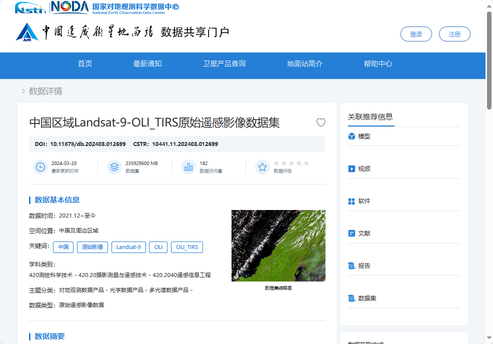
中国科学院空天院发布中国区域Landsat-9原始遥感影像数据集
遥感影像 数据 卫星
2024/9/15
2024年9月14日,中国科学院空天信息创新研究院所属中国遥感卫星地面站发布了2021年12月至2024年2月中国区域Landsat-9原始遥感影像数据集。该数据集免费共享64000景原始遥感影像,数据总量近55TB。

中国遥感卫星地面站发布中国区域Landsat-9原始遥感影像数据集(图)
遥感影像 数据红外辐射
2024/9/20
2024年9月13日,中国遥感卫星地面站发布2021年12月-2024年2月中国区域Landsat-9原始遥感影像数据集。免费共享64000景原始遥感影像,数据总量近55TB。
Landsat 9 卫星携带陆地成像仪 2(OLI-2)和热红外传感器 2(TIRS-2)。OLI-2 在可见光、近红外和短波红外波段捕获地球表面的观测数据,TIRS-2 测量从地球表面发出的热红外辐射或热量。此次共享的...
深入理解大熊猫栖息地植被变化过程及其驱动力, 是开展大熊猫栖息地保护和管理的重要基础。该研究利用1986- 2018年所有可用的Landsat TM/ETM/OLI影像构建长时间序列归一化植被指数(NDVI), 采用BFAST (Breaks For Additive Seasonal and Trend)方法实现大熊猫栖息地植被变化历史检测, 从植被累积突变、累积渐变和总变化3个指标揭示植被变化...
湖泊变化是气候变化的指示器.为探索利用单一短时间尺度的卫星水位数据源估算长时间序列的湖泊水量变化的可行性,本文利用短时间尺度(2016—2018年) Sentinel-3A合成孔径雷达高度计(SRAL)作为唯一卫星水位数据源,以藏北高原内陆湖泊当惹雍错为例,结合基于Landsat光学遥感数据提取的1988—2018年的湖泊面积,综合分析2016—2018年间的非结冰期遥感湖泊面积与遥感湖泊水位变化...
EXTRACTION OF BUILT-UP AREA BY COMBINING TEXTURAL FEATURES AND SPECTRAL INDICES FROM LANDSAT-8 MULTISPECTRAL IMAGE
Built-up Support Vector Machine Texture
2019/2/28
Remote sensing techniques provide efficient and cost-effective approach to monitor the expansion of built-up area, in comparison to other traditional approaches. For extracting built-up class, one of ...
DEVELOPMENT OF SCHEME FOR THE ATMOSPHERIC CORRECTION OF LANDSAT-8 OLI DATA
Atmospheric Correction Landsat-8 Surface reflectance Aerosol Water vapor Ozone
2019/2/28
In the present study, a physics based method called Scheme for Atmospheric Correction of Landsat-8 (SACLS8) is developed for the Operational Land Imager (OLI) sensor of Landsat-8. The Second Simulatio...
SPECTRAL UNMIXING ANALYSIS OF TIME SERIES LANDSAT 8 IMAGES
Time series Landsat 8 image Endmember Estimation K-P-Means Purified Pixels Spectral Unmixing
2018/5/17
Temporal analysis of Landsat 8 images opens up new opportunities in the unmixing procedure. Although spectral analysis of time series Landsat imagery has its own advantage, it has rarely been studied....
REMOTE SENSING ANALYSIS OF VOLUME IN TAIHU LAKE: APPLICATION FOR ICESAT/HYDROWEB AND LANDSAT DATA
Taihu Lake Surface area Water level Lake Volume variation Water balance
2018/5/15
In order to evaluate the fluctuation of Taihui Lake, ICESat/Hydroweb and Landsat data recorded from 1975 to 2015 were used to examine changes in lake level and area, derived from Normalized Difference...
UTILIZATION OF LANDSAT-8 DATA FOR LITHOLOGICAL MAPPING OF BASEMENT ROCKS OF PLATEAU STATE NORTH CENTRAL NIGERIA
Landsat-8 Plateau State Lithological Map Remote Sensing
2016/10/14
This paper utilized the Landsat-8 image data to map the lithology’s of Plateau state north central Nigeria. This is includes the rocks, with particular emphasis on their description and classification...
LANDSAT-BASED DETECTION AND SEVERITY ANALYSIS OF BURNED SUGARCANE PLOTS IN TARLAC, PHILIPPINES USING DIFFERENCED NORMALIZED BURN RATIO (dNBR)
Landsat dNBR Sugarcane cultivation Agriculture
2016/10/14
The Philippines has a booming sugarcane industry contributing about PHP 70 billion annually to the local economy through raw sugar, molasses and bioethanol production (SRA, 2012). Sugarcane planters a...
Evaluation of the Wetland Mapping Methods using Landsat ETM+ and SRTM Data
wetlands remote sensing mapping delineation automated methods semi-automated methods Limpopo river basin
2015/8/13
Overarching goal of this paper was to evaluate automated and semi-automated methods of mapping wetlands using Landsat ETM+ and SRTM data. Automated methods consisted of: (a) slope derived from SRTM, (...
MULTISPECTRAL LANDSAT IMAGES CLASSIFICATION USING A DATA CLUSTERING ALGORITHM
Multispectral Image Classification Networks Fuzzy Logic
2015/7/29
This paper presents a new application of a data-clustering algorithm in Landsat image classification, which improves on
conventional classification methods. Neural networks have been widely used in ...
ANALYSIS OF THE SHORELINE POSITION EXTRACTED FROM LANDSAT TM AND ETM+ IMAGERY
Shoreline position Landsat imagery
2015/5/7
A statistical analysis of the results obtained by the tool SELI (Shoreline Extraction from Landsat Imagery) is made in order to characterise the medium and long term period changes occurring on beac...
A comparison of Landsat 8 (OLI) and Landsat 7 (ETM+) in mapping geology and visualising lineaments: A case study of central region Kenya
Band rationing False colour Combinations (FCC) Principal Component Analysis
2015/5/7
Availability of multispectral remote sensing data cheaply and its higher spectral resolution compared to remote sensing data with higher spatial resolution has proved valuable for geological mapping...
Statistical downscaling of MODIS thermal imagery to Landsat 5tm + resolutions
Statistical downscaling MODIS thermal Landsat 5tm + resolutions
2015/1/9
Statistical downscaling of MODIS thermal imagery to Landsat 5tm + resolutions.

